A sunny start to the REX weekend





Conrad Straden–The Tech
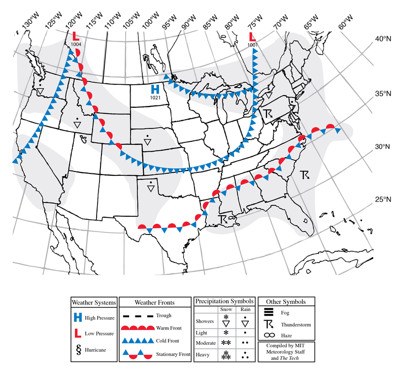
Today, a trough will dive into the region and squeeze the isobars, which will lead to elevated southwesterly winds and cloud cover this afternoon. It will stay overcast overnight into Friday. Temperatures will hover in the low 80s and scattered rain showers will be present throughout the day. The chance for a rumble of thunder cannot be ruled out as well. Things will cool off as we head into the weekend. On Saturday, high pressure will move in, bringing back sunshine and more pleasant dew points. Temperatures will stay in the 70s before dropping into the low 60s overnight. It will be warmer on Sunday, with temperatures topping out around the mid 80s along with a moderate westerly wind.
This summer continues to be very dry in Boston, with year-to-date precipitation currently at 67% of normal — a deficit of over 10 inches. As we head into next week, some more consistent rain is finally popping up in the forecast. A train of low pressure systems passing to our north will bring repeated rounds of rain for the start of September.
Today: Partly Cloudy. High around 84°F (29°C). South winds 10–15 mph with gusts to 30 mph.
Tonight: Partly Cloudy. Low around 69°F (21°C). South winds 5–10 mph with gusts to 25 mph.
Friday: Rain Showers. High around 82°F (30°C) and overnight low around 60°F (19°C). Southwest winds 5–10 mph with gusts to 20 mph.
Saturday: Sunny. High around 78°F (27°C) and overnight low around 59°F (17°C). East winds 5–10 mph with gusts to 15 mph.
Sunday: Partly Cloudy. High around 84°F (26°C) and overnight low around 68°F (16°C). Southwest winds 5–10 mph with gusts to 25 mph.